
Late-Week Storm Brings Two Rounds of Thunderstorms, Snow, Heavy Rain and Strong Winds
Overview: A little of everything late week into the weekend
A storm system expected later this week is forecast to bring a broad mix of weather across the eastern two-thirds of the United States. Impacts may include a renewed threat of severe weather in parts of the South, snow spreading from the Rockies into portions of the Plains and Great Lakes, areas of heavy rain, and strong winds that could become a primary concern as the weekend approaches.
Forecast guidance described here points to a two-round setup that begins Wednesday night and continues through Sunday. While it is not expected to be a major snow-producing storm due to a lack of cold air in place for early January, several regions could still see meaningful travel and power-related disruptions, particularly where strong winds overlap with precipitation.
Timing: What to expect from Wednesday night through Sunday
The system is expected to evolve day by day, with different hazards becoming more prominent as the storm progresses. The following timeline summarizes the expected progression.
- Wednesday night: Thunderstorms may develop in parts of the Southern Plains, from Oklahoma to northern Texas. At the same time, snow is expected to blanket parts of the Rockies and the Mountain West.
- Thursday: Rain is forecast to spread as far north as the western Great Lakes. Thunderstorms may flare from portions of eastern Texas into the mid-Mississippi Valley. Snow continues in the Rockies.
- Friday: Snow may expand from the central and southern Rockies into parts of the Plains. Thunderstorms may become more numerous across parts of the South, from Texas to the Tennessee Valley. Rain showers may also reach as far north as upstate New York and New England.
- Saturday: Snow is possible in parts of the western Great Lakes. More soaking rain is expected to spread into the East, reaching as far north as parts of New England and upstate New York. Strong winds are possible in much of the Midwest and parts of the South. Thunderstorms may linger in parts of the Southeast ahead of the cold front.
- Sunday: Wind is likely to be the biggest concern in the Midwest and Northeast. Bands of rain may linger in eastern New England in the morning. Wrap-around snow may persist from parts of the eastern Great Lakes to upstate New York and northern New England.
Severe weather: Threat returns to the Deep South
The storm’s warm-sector setup is expected to support thunderstorms on multiple days, with the overall severe risk varying by time and location.
For Wednesday night in the Plains and Thursday from Texas to the Ozarks, the threat of strong thunderstorm winds, hail, or tornadoes is expected to be low. However, the severe threat may increase on Friday in the lower Mississippi Valley, where the risk is described as a step higher than earlier periods. That more elevated threat could continue into Friday night or early Saturday in other parts of the Deep South and the Tennessee Valley.
As the cold front advances, thunderstorms are also expected to linger in parts of the Southeast on Saturday ahead of the front, keeping the potential for locally impactful weather in place even as the storm shifts east.
Heavy rain and flooding concerns
In addition to thunderstorms, periods of heavier rainfall are possible. Locally heavy rain is most likely from Friday into early Saturday in the Tennessee Valley, including Friday and Friday night. In that corridor, local flash flooding is possible.
Farther north and east, rain showers are forecast to spread into areas as far north as upstate New York and New England by Friday, with more soaking rain possible on Saturday. By Sunday morning, bands of rain may linger in eastern New England before the system gradually pulls away.
Snow: Not a major snowmaker, but travel impacts are still possible
Even though this system is not expected to produce widespread heavy snow—largely because there is not much cold air in place—snow is still forecast in several regions. Generally light to moderate snowfall is expected in the central High Plains, the upper Midwest, and parts of the eastern Great Lakes and northern New England.
Snow is expected to continue in the Rockies through Thursday, then may spread from the central and southern Rockies into parts of the Plains by Friday. By Saturday, snow is possible in parts of the western Great Lakes, and by Sunday, wrap-around snow may linger from parts of the eastern Great Lakes into upstate New York and northern New England.
Wind: A growing weekend concern for the Plains, Midwest, and East
While strong wind gusts are possible in parts of the central and eastern U.S. on Thursday and Friday, the biggest concern for high winds is expected to be over the weekend.
On Saturday, strong winds with gusts occasionally over 40 mph are possible throughout the Plains and Midwest, and increasingly in the East as low pressure strengthens. These strong winds are expected to continue in the Midwest and East on Sunday, when wind may become the primary issue across the Midwest and Northeast.
Wind gusts of this magnitude can be strong enough to down tree limbs and cause power outages in some areas. Where snow is falling, strong winds could also reduce visibility and create challenging driving conditions.
Temperature changes behind the storm
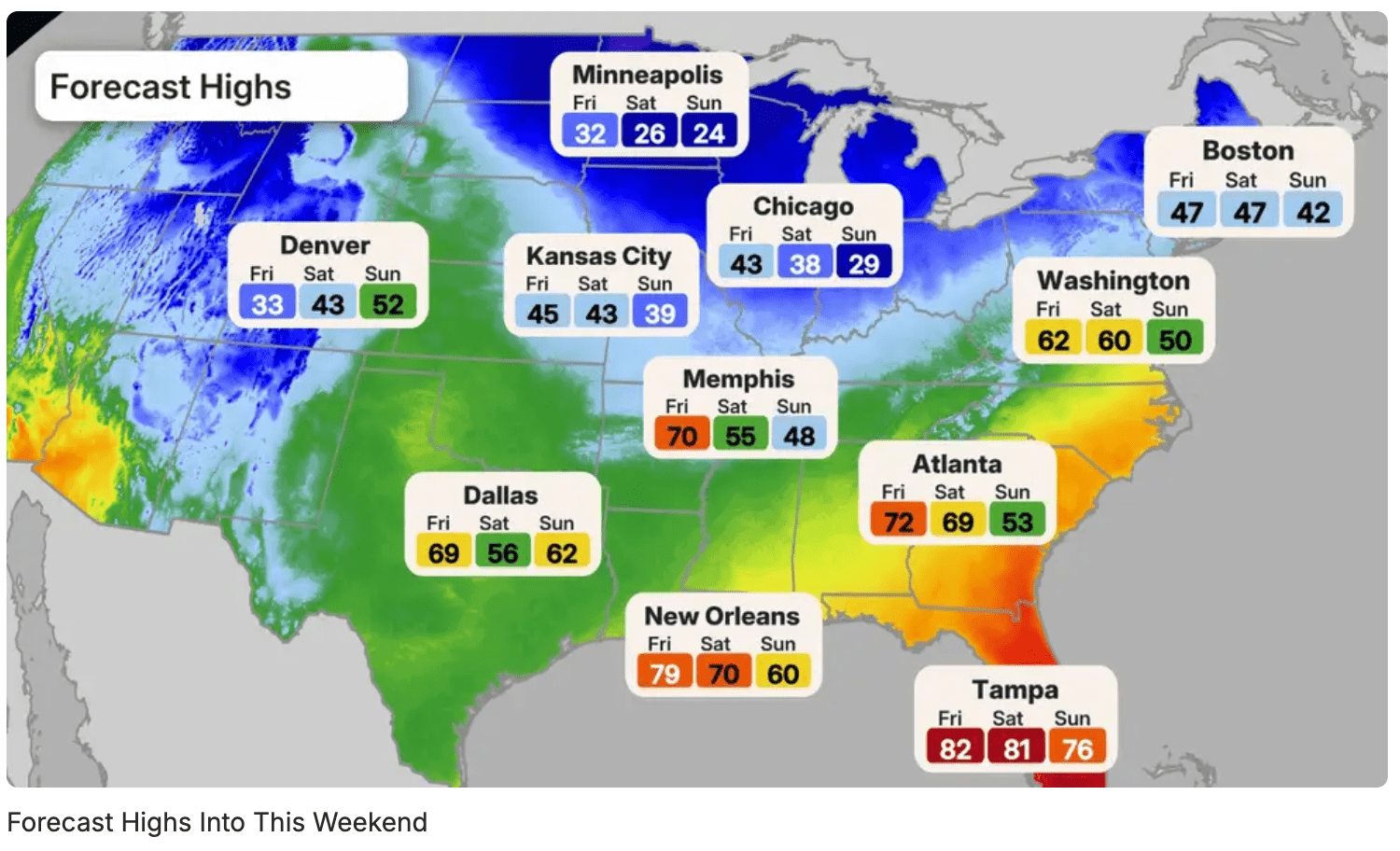
Colder air is expected to move in behind the storm across the Midwest, South, and East. However, the air mass is not expected to be bitterly cold, and the colder conditions are not expected to last long.
Key takeaways
- The storm system is expected to unfold in two rounds from Wednesday night through Sunday.
- Thunderstorms are forecast from the Southern Plains into the South, with a higher severe potential possible Friday into early Saturday in parts of the lower Mississippi Valley, Deep South, and Tennessee Valley.
- Locally heavy rain is most likely Friday into early Saturday in the Tennessee Valley, where local flash flooding is possible.
- Snow is expected in the Rockies and may extend into parts of the Plains, Great Lakes, and northern New England, though totals are generally expected to be light to moderate.
- Strong winds may become the biggest concern this weekend, with gusts occasionally over 40 mph possible in the Plains, Midwest, and increasingly the East.