
El Niño Watch Raises Odds, Not Certainty, for California’s Next Wet Season
An El Niño Watch, and a surge of attention
Scientists at the National Oceanic and Atmospheric Administration (NOAA) have issued an “El Niño Watch” for this summer, citing a 62% chance that El Niño conditions will develop from June through August. Those odds rise to 83% by October. The announcement has quickly fueled public discussion and, in some corners, a wave of dramatic language about “Super El Niños” and other ominous-sounding scenarios.
But what does an El Niño Watch actually mean for California, and how should residents interpret the forecasts without overreacting to the hype? Veteran meteorologist Jan Null, who spent decades with the National Weather Service and now runs a private forecasting and consulting firm in Half Moon Bay, emphasizes that El Niño is best understood as a shift in odds—not a promise of a particular outcome.
El Niño and La Niña: the basic difference
El Niño and La Niña are often discussed as if they are simple switches that flip weather from wet to dry. In reality, they describe changes in ocean temperatures across a specific region of the tropical Pacific, and those ocean changes can influence atmospheric circulation patterns.
Null describes El Niño as a warming of ocean waters in the tropical Pacific along the equator, stretching from off the Mexico coast toward the middle of the Pacific. La Niña is the opposite pattern: cooler-than-normal waters in that same region. These shifts typically occur every three to seven years.
The key point is that the ocean temperature pattern can “trickle down” into the atmosphere, affecting circulation and, in turn, influencing weather patterns around the world. Influence, however, is not the same as control. The relationship is statistical and based on patterns seen over many years.
Global patterns: what tends to happen during El Niño
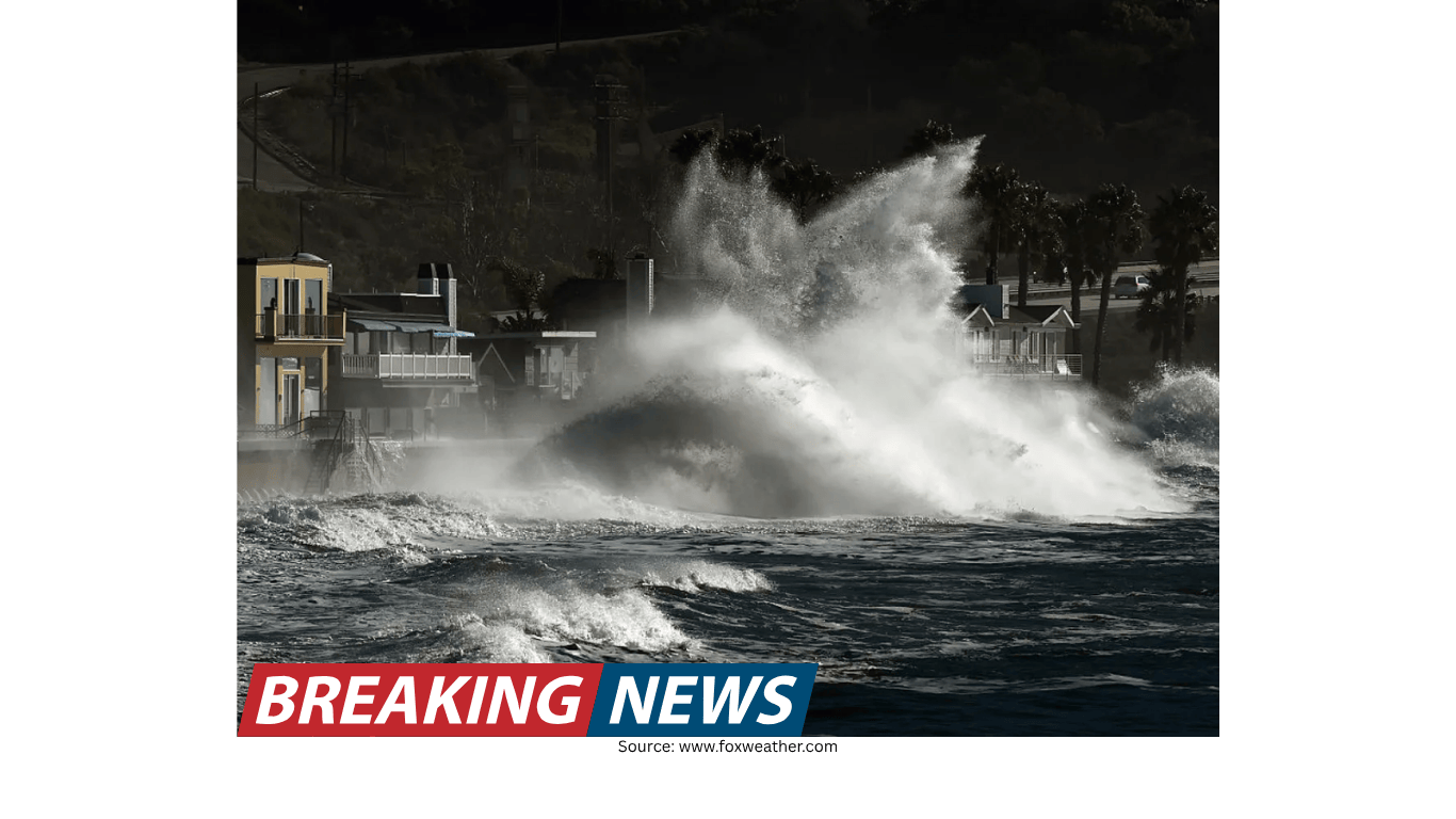
El Niño’s influence is often described in broad regional tendencies. In North America, Null notes that El Niño years are more likely to bring warmer and drier-than-normal conditions to the Pacific Northwest and Canada, while increasing the chances of wetter-than-normal conditions across the southern tier of the United States, including Southern California.
Outside North America, El Niño is associated with drier-than-normal conditions in several regions, including the Amazon Basin, Indonesia, and Australia. El Niño can also shift hurricane activity: in the Atlantic, hurricane activity tends to decrease, while in the eastern Pacific off Mexico and Central America, hurricane numbers tend to increase.
These are not ironclad rules. They are averages derived from many years of data, and any single year can deviate. Null argues that one of the biggest misconceptions is treating these broad tendencies as absolute forecasts.
California’s most persistent myth: “El Niño guarantees a wet winter”
In California, the most common shorthand is that El Niño equals a wet winter and La Niña equals drought. That framing is appealing because it is simple—yet it is not reliably accurate.
Null’s view is more careful: on average, California tends to be wetter during El Niño years, but the range of outcomes is wide. The record since 1950 illustrates why certainty is misplaced. There have been 27 El Niño events since 1950. In the Bay Area, rainfall was below normal in 12 of those El Niño years and above normal in 15. In Los Angeles, 10 El Niño years were below normal and 17 were above normal.
Those counts support two ideas at once:
- El Niño does increase the frequency of above-normal rainfall in parts of California.
- El Niño does not guarantee above-normal rainfall in any part of the state.
Null also points out that the odds of above-normal rainfall are greater in Southern California than in the Bay Area, and they diminish farther north. In other words, the “El Niño means wet” belief is not equally applicable across the state, even as a statistical tendency.
Why “Super El Niño” headlines catch on
Public memory plays a role in how El Niño is discussed. Null points to the winter of 1997–98, when the buildup to a strong El Niño drew major attention and the season ultimately produced about double the normal rainfall, with many rainy days. That experience helped cement the idea that a very strong El Niño automatically translates into a very wet California winter.
In recent history, Null identifies three very strong El Niño events: 1982–83, 1997–98, and 2015–16. In those years, Pacific Ocean water temperatures were at the top end of the scale, qualifying as “very strong” El Niño conditions.
The rainfall outcomes, however, were not uniform:
- 1982–83: the Bay Area recorded 195% of normal rainfall, along with flooding.
- 1997–98: the Bay Area recorded 180% of normal rainfall.
- 2015–16: the Bay Area recorded 99% of normal rainfall.
Two of the three were notably wet, but one was essentially near normal. For Null, that is the most practical takeaway from the “super” discussion: even very strong El Niño conditions do not produce the same rainfall outcome every time. The label may be attention-grabbing, but it can also encourage the public to treat a probabilistic signal as a certainty.
Climate change and El Niño: a developing picture
Null describes the relationship between climate change and El Niño impacts as an area where scientists are still “getting a handle” on the details. He notes that oceans are warmer, and that when storms do occur, they tend to be wetter. He also observes that when droughts and heat waves occur, they tend to be drier and hotter.
He frames it in a way that blends the immediate and the long-term: every weather event has some “climate change DNA” in it. The difficult task is separating what is natural variability from what has been “supercharged” by a hotter climate.
To make sense of that, Null argues for looking at longer time frames—decadal numbers—asking how many wet events occur in the 1980s, 1990s, 2000s, 2010s, and 2020s. The implication is that single seasons can be misleading, while multi-decade comparisons can better reveal shifts in frequency and intensity.
How forecasting has improved—and what it still cannot do
One reason El Niño discussions can become confusing is that people often mix up daily weather forecasting with seasonal outlooks. Null, who began forecasting in the 1970s, describes a clear improvement in short-term forecast skill over time.
When he started, he says a good forecast extended about three days. Today, it is closer to seven days, meaning forecasters generally have “a pretty good handle” on what is coming within about a week. He characterizes the improvement as roughly one day per decade.
The drivers of that progress are practical and technological:
- Greater computing power to run more sophisticated models.
- Satellite observations that provide broader and more consistent data coverage.
- More ocean buoys and other instruments in places that previously lacked data.
More data points feed into computer models, improving the models’ ability to represent the atmosphere and oceans. Null also notes that forecasters are beginning to use artificial intelligence to examine larger volumes of data, especially historical data, to identify weather patterns.
Why NOAA can talk about seasons when daily forecasts top out near a week
If accurate daily forecasts are limited to about a week, it is reasonable to ask how NOAA and other agencies can issue outlooks for July, August, September, and beyond.
Null’s answer is that these are different kinds of forecasts. Seasonal outlooks are built by looking at current water temperatures and current atmospheric changes, then using variations on climate models to estimate how conditions might evolve. The result is not a detailed prediction of specific storm tracks or exact rainfall totals on specific days. Instead, it is expressed as probabilities.
That distinction matters. A daily forecast is about the timing and location of weather events in the near term. A seasonal outlook is a broader assessment of the likelihood of certain patterns—such as whether conditions favor wetter or drier outcomes—based on large-scale signals like ocean temperature anomalies.
The economic value of getting long-range forecasts right
Null underscores why long-range forecasting attracts so much interest: weather affects a large share of economic activity. He estimates that one-third of the U.S. economy is weather sensitive.
More precise long-range predictions could influence decisions across many sectors, including energy prices, agriculture, and commerce. Even retail planning can be affected—he gives the everyday example of deciding “how many puffy ski jackets to sell next winter.”
His broader point is that if someone could precisely predict temperatures and rainfall totals months in advance, it would be extraordinarily valuable. That potential value helps explain why seasonal outlooks draw attention, and why the public may sometimes treat them as more definitive than they are.
Misconceptions: the problem with treating apps as certainty
Null identifies a modern misconception that has grown alongside smartphone use: the belief that a weather app display is a definitive statement of what will happen. He argues that many people assume that if a forecast is on a phone, it must be exact.
His advice is straightforward: for local forecasts, he recommends going directly to the National Weather Service for the official forecast. He also mentions an app, “Everything Weather,” which is based on National Weather Service forecast data.
The larger lesson is not about any single app, but about how forecasts should be interpreted. Weather forecasts are tools that express the best estimate given current data and model guidance. They are not guarantees, and they can change as new observations arrive.
Putting the El Niño Watch in perspective for California
With NOAA’s El Niño probabilities rising from summer into fall, Californians may hear renewed claims that a wet winter is inevitable. Null’s message is more measured: El Niño shifts the “over-under” on rainfall. It changes the odds, but it is not a sure bet.
Historical records show that California has experienced both below-normal and above-normal rainfall during El Niño years, including during very strong events. The tendency toward wetter conditions is stronger in Southern California than in the Bay Area, and weaker farther north, but nowhere is it a guarantee.
For residents and decision-makers, the most practical approach is to treat El Niño as a risk signal rather than a promise. Seasonal outlooks can inform planning, but they should be paired with ongoing updates as the season approaches and short-term forecasts become more reliable.
Key points to remember
- NOAA has issued an El Niño Watch, with a 62% chance of El Niño conditions June–August, rising to 83% by October.
- El Niño is the warming of tropical Pacific waters along the equator; La Niña is the cooling of those waters.
- El Niño influences atmospheric circulation and shifts weather odds globally, but outcomes vary year to year.
- Since 1950, California has seen both wet and dry El Niño years; El Niño does not guarantee a wet winter.
- Even very strong El Niño events have produced different California rainfall outcomes, including one near-normal season in 2015–16.
- Forecasting skill has improved substantially over decades, but seasonal outlooks remain probabilistic and less specific than daily forecasts.
As the year progresses, the developing ocean and atmospheric conditions will become clearer. For now, the El Niño Watch is best understood as an elevated likelihood—an important signal, but not a verdict on what California’s winter will bring.