
What a “Super El Niño” Could Mean for Weather and Climate Across the U.S.
El Niño is expected to form later this year
El Niño is expected to form later this year, and that expectation naturally raises a follow-up question: what are the chances it becomes a “super El Niño,” and why would that matter for people in the United States?
In an explainer video, meteorologist Jennifer Gray focuses on those two ideas—defining what a super El Niño is and outlining what it could mean for weather and climate across the U.S. The discussion is not about a single storm or a short-term forecast. Instead, it centers on a larger climate pattern and how it can shape broad conditions over time.
Because the topic involves probabilities and evolving conditions, the key takeaway is not a guarantee of specific outcomes, but an understanding of what forecasters mean when they use the term “super El Niño” and why the label attracts attention.
What El Niño is—and why it matters in forecasting
El Niño is a climate pattern that can influence weather and climate. When it develops, it becomes one of the major background signals meteorologists and climate scientists watch as they assess potential shifts in seasonal patterns.
It is important to separate two related ideas that often get blended in casual conversation. “Weather” refers to day-to-day conditions—temperature, precipitation, wind, and storms at a given time and place. “Climate” refers to longer-term patterns and averages. El Niño is discussed in both contexts because it can shape the broader environment in which day-to-day weather unfolds.
That is why, when El Niño is expected to form later in the year, it becomes relevant not only for scientists and forecasters, but also for the public. Even when no single event can be pinned on it, the pattern can be associated with shifts in the overall character of a season.
Defining “super El Niño”
The phrase “super El Niño” is used to describe an especially strong El Niño. Jennifer Gray’s explanation emphasizes that this is not a separate phenomenon from El Niño itself, but a way of describing intensity.
When people ask about the “chances” of a super El Niño, they are asking whether the developing El Niño might reach that higher tier of strength. In practical terms, the interest comes from the idea that the strength of the pattern can affect how strongly it influences weather and climate outcomes.
In other words, the term “super” is not simply dramatic language. It is a signal that forecasters are considering the possibility of an unusually powerful version of a well-known climate pattern.
What it could mean for the United States
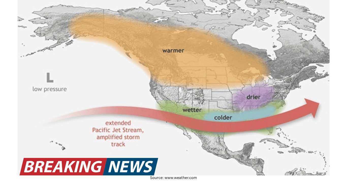
The central point of the explainer is that a super El Niño could mean notable implications for weather and climate across the U.S. That phrasing matters: it is about potential influence on conditions across the country, rather than a promise of a specific local forecast.
Because the U.S. spans a wide range of climates and geographies, the phrase “across the U.S.” is significant. It suggests that the impacts—if they occur—are not confined to a single region. Instead, the influence can show up in different ways in different places, depending on how the broader atmospheric setup responds.
It is also worth noting that the discussion is framed around “weather and climate.” That dual framing highlights that the influence can be felt both in the broad seasonal pattern and in the kinds of weather systems that become more or less common during that period.
Why the probability question matters
The video’s focus on “chances” reflects a key reality of modern forecasting: large-scale climate patterns can often be anticipated before their full effects are known, but the details of what they will mean for any given community are not fixed far in advance.
As El Niño is expected to form later in the year, the question is not only whether it will develop, but how strong it will become. That strength can shape how meteorologists interpret the pattern’s potential influence on U.S. conditions.
In public conversations, this can be a source of confusion. People may hear that El Niño is coming and assume it automatically means one specific outcome—such as a particular kind of winter or a certain storm track. The more careful approach, reflected in Gray’s explanation, is to treat El Niño as a factor that can tilt the odds toward certain patterns, with intensity potentially affecting how pronounced those shifts might be.
How to think about “could mean” in a forecast discussion
The phrase “could mean” is doing a lot of work in this kind of explainer. It signals possibility, not certainty. It also reflects the difference between describing a climate driver and issuing a deterministic forecast.
When meteorologists discuss what a super El Niño could mean, they are essentially translating a large-scale climate setup into a set of plausible consequences. Those consequences can involve changes in the overall distribution of weather patterns—how often certain types of conditions occur, or how persistent they might be.
This is why the conversation is often framed around broad impacts across the U.S. rather than pinpoint predictions. The larger the scale of the climate driver, the more its influence is expressed in patterns and tendencies rather than exact day-by-day outcomes.
What viewers should listen for in expert explainers
Jennifer Gray’s role in the explainer is to clarify terminology and connect it to real-world meaning. For viewers, there are several cues that help interpret these discussions responsibly.
- Definitions first: Understanding what “super El Niño” means is essential before interpreting any potential impacts.
- Scope of impact: References to “across the U.S.” indicate a broad, national-scale influence rather than a single-region forecast.
- Weather and climate: When both terms are used, it suggests attention to both short-term weather behavior and longer-term seasonal patterns.
- Uncertainty language: Words like “chances” and “could” are signals that the situation is evolving and that outcomes are not guaranteed.
These points help keep the conversation grounded. They also help prevent a common misunderstanding: that a climate pattern automatically dictates the exact weather any one person will experience.
Why “later this year” is a meaningful timeframe
The explainer notes that El Niño is expected to form later this year. That timeframe is important because it places the discussion in a forward-looking context. It is not describing a completed event; it is describing a developing situation.
In practice, that means the conversation is partly about monitoring and assessment. As the year progresses, forecasters watch for signs of formation and then evaluate how the event is evolving. The question of whether it becomes “super” is part of that ongoing evaluation.
For audiences, this is a reminder that climate and seasonal outlooks are updated as new information becomes available. The initial expectation of formation is one step; the later assessment of strength is another.
What this kind of information is—and isn’t
It can be tempting to treat any discussion of a major climate pattern as a definitive forecast. But an explainer about what a super El Niño could mean is best understood as context for the months ahead.
It is an effort to help the public understand a term that may appear in future forecasts and headlines. It is a way to describe how a strong El Niño can influence weather and climate across the U.S.
It is not a promise of specific local outcomes on specific dates. It is not a replacement for regular forecasts and warnings that address immediate weather risks.
Seen in that light, the value of the explainer is educational: it helps people interpret future updates with a clearer understanding of what forecasters mean when they talk about El Niño strength.
Key points to remember
- El Niño is expected to form later this year.
- A “super El Niño” refers to an especially strong El Niño.
- Jennifer Gray explains both the definition and why it matters.
- A super El Niño could influence weather and climate across the United States.
- The discussion is framed in terms of chances and possibilities, not certainties.
Looking ahead
As the expected formation approaches, the most practical approach is to treat El Niño—especially the possibility of a super El Niño—as a developing background factor. It is one piece of the larger puzzle that shapes seasonal expectations and the types of patterns forecasters watch for.
For the public, the immediate benefit is understanding the language. When forecasters discuss whether El Niño is forming, how strong it may become, and what that could mean for U.S. weather and climate, the conversation is about risk, probability, and broad patterns—topics that can inform awareness well before any specific local forecast comes into focus.
In that sense, the question “What could a super El Niño mean for the U.S.?” is less about predicting a single outcome and more about preparing to interpret the months ahead with clearer context.