Winter Storm Hernando Intensifies Along the East Coast, Bringing Blizzard Warnings, Travel Bans and Power Outage Risks
A strengthening nor’easter with widespread impacts
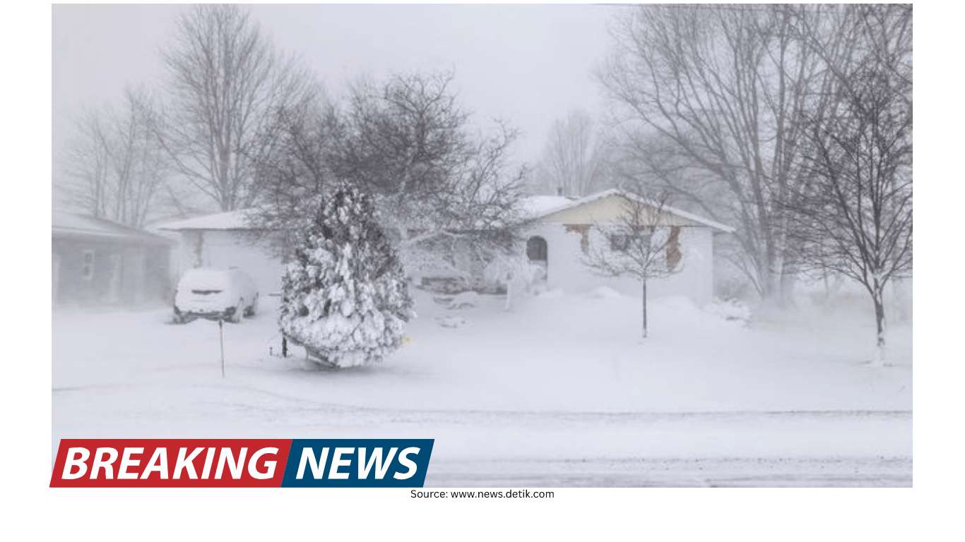
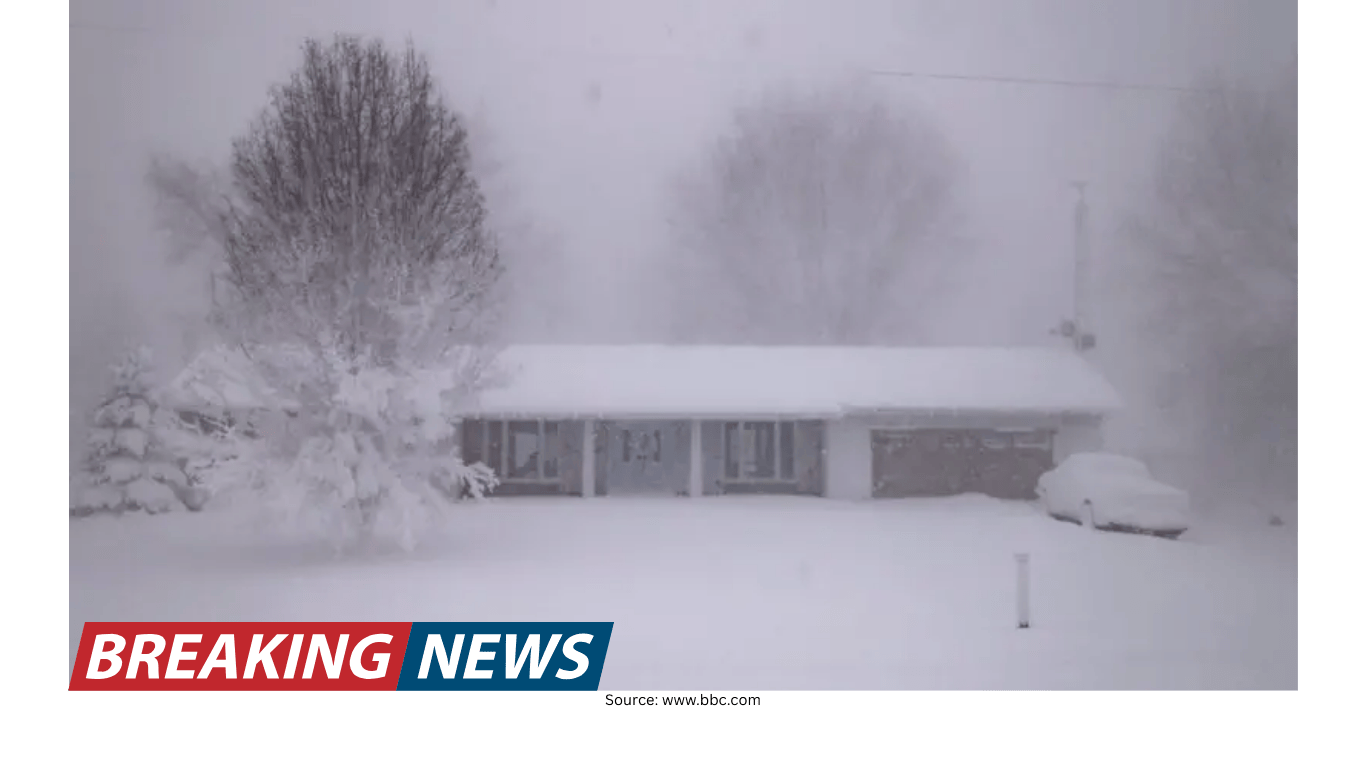
Winter Storm Hernando is unfolding as a powerful nor’easter expected to intensify into a “bomb cyclone” into Monday, a setup that can rapidly increase winds and precipitation near the storm’s core. Forecasters are warning that the system will bring blizzard conditions, heavy snow and damaging winds from the mid-Atlantic to New England, with impacts expected to persist through Monday.
Blizzard warnings have been issued along a long stretch of the East Coast, from Virginia to New Hampshire. The warnings include all five boroughs of New York City, underscoring the expected severity in one of the nation’s most densely populated regions.
Officials and meteorologists have repeatedly emphasized a straightforward message: avoid travel if you are in the storm’s path. Dangerous road conditions are expected through Monday, and the combination of accumulating snow and rising winds increases the likelihood of rapid deterioration in visibility and traction.
Snow totals build as heavier bands approach
Conditions have been evolving through the day as snow bands rotate northward. Early on, New York City had seen only light snowfall—up to a half-inch in some reports—but forecasters cautioned that would change quickly as heavier bands approached from the south.
Snowfall rates of up to an inch per hour were considered possible through the evening, and the expectation was for roads to become covered quickly as temperatures drop. In the New York City and Philadelphia corridor, the heaviest snowfall was expected through the overnight hours, with snowfall rates potentially exceeding 1 inch per hour and wind gusts up to 55 mph.
Across the region, early storm totals highlighted how quickly conditions could ramp up. On Long Island, snow totals were reported to have reached 8 inches, with plow drivers preparing for extended operations. Elsewhere, a new top snow total was reported at 6.1 inches near Freehold Township, New Jersey. Another reported benchmark included 6 inches near Wintergreen, Virginia.
In New Jersey, communities such as Fort Lee were reporting heavier snow by sunset, a sign that the more intense portion of the storm was arriving as forecast. In New York, the local weather office in Upton reported heavy snow at its location, with the potential for overnight snowfall exceeding a foot and wind gusts reaching 55 mph. Blizzard warnings in that area were expected to remain in place until Monday night.
Farther north, Boston faced a different timing window: the heaviest snowfall was expected during the day Monday, particularly between 5 a.m. and 4 p.m. Snowfall rates of 1 to 2 inches per hour were possible, with some areas potentially seeing rates up to 3 inches per hour. The wind threat was also pronounced in the Boston forecast, with potentially dangerous gusts that could reach as high as 70 mph.
Rhode Island was also bracing for major accumulation. A winter storm watch was in effect from Sunday afternoon through Tuesday morning, with Providence potentially seeing 15 inches of snow. The state was warned to expect possible blizzard conditions, total accumulations between 14 and 18 inches, and wind gusts up to 55 mph. With wet, heavy snow in the forecast, officials warned that power outages were a real possibility.
Blizzard warnings: what they mean and why they matter
Blizzard conditions are not defined by snow totals alone. A blizzard is defined by a combination of factors, including blowing and/or falling snow and reduced visibility in strong winds. Importantly, you do not need new snow falling at the time to have blizzard conditions; existing snow can be lofted by wind and create whiteout conditions.
That distinction matters during storms like Hernando, when wind can become as disruptive as snowfall. Even after the most intense snow bands move through, strong gusts can continue to blow snow across roads, reduce visibility and create drifts that make travel difficult or impossible.
Travel restrictions and transit disruptions take shape
As conditions worsened, government agencies and transit operators moved toward restrictions designed to keep roads clear for emergency operations and snow removal. In New York City, a travel ban was set to go into effect at 9 p.m., closing roads and bridges to non-essential traffic. The timing reflected the expectation that the worst conditions would arrive overnight, when visibility and road traction could deteriorate quickly.
New Jersey also announced major transit changes. The governor said all buses, light rail and Access Link would be suspended at 6 p.m., with the last departure from the Port Authority Bus Terminal scheduled for 4 p.m. Train service was expected to run into the evening, with a likely suspension later at night to be announced.
These measures can be disruptive, but they are often intended to reduce the number of vehicles on the road when plows need space to operate and when emergency crews may need to respond to crashes, stranded motorists or downed power lines.
Flight cancellations surge across major hubs
Air travel was already feeling the storm’s effects well before the peak conditions. Nearly 1,000 flights into and out of New York’s John F. Kennedy International Airport were canceled for the following day, on top of 724 cancellations already recorded that day. The pattern extended across the Eastern Seaboard, from Washington, D.C., and Baltimore up to Boston.
In total, the region was approaching 8,000 flight cancellations across two days. Separately, delays were mounting nationwide, with more than 15,000 delayed flights reported during the day and expectations that the number would continue to rise as disruptions cascaded through the air travel network.
For travelers, the practical advice was to check with airlines before heading to the airport and watch for options such as vouchers or the ability to reschedule without charge. Even travelers who were already at airports were preparing for long waits as cancellations and delays accumulated.
Power outages climb as wind increases
Power outages were expected to rise rapidly as snow piles up and winds strengthen. Early in the evening, outages had surpassed 30,000 customers in the Northeast, according to outage tracking. In another update, more than 12,000 customers were reported without power as winds began knocking down trees and power lines.
The concern was not limited to a brief window. With gusty winds and heavy snow, outages can expand quickly, and restoration can be slowed when crews face hazardous travel and poor visibility.
Several states were operating under emergency declarations as the storm intensified. Maryland declared a state of emergency and joined New York, New Jersey, Delaware, Massachusetts, Connecticut and Rhode Island. Maryland’s state offices were set to be closed the next day.
Massachusetts also declared a state of emergency, including activation of up to 200 National Guard members to support storm response operations. Such steps are typically aimed at ensuring staffing and equipment are available for urgent needs, from clearing roads to supporting public safety operations.
Why bridges ice first — and why black ice can linger after the snow
One of the most persistent dangers in winter storms is not always the falling snow, but the conditions that remain after the storm moves on. Meteorologists warned that the threat of black ice could persist for days following Hernando. The reasoning is simple: deep snow takes time to melt, and partial melting during the day can leave water on road surfaces. If temperatures drop below freezing overnight, that water refreezes into a thin, hard-to-see layer of ice.
Bridges and overpasses are especially vulnerable. The ground acts as a natural insulator for standard roadways, but bridges are surrounded by cold air on all sides. That exposure allows them to lose heat faster, meaning water can freeze more quickly on elevated surfaces. The familiar sign—“Bridge freezes before roadway”—is a practical warning that becomes especially relevant during and after a storm.
Commuters were urged to remain cautious even as normal routines resume, particularly on bridges and overpasses where slick spots can persist and where a small patch of ice can quickly lead to loss of control.
Storm structure: an eye-like feature offshore
Satellite imagery showed the storm beginning to clear out its center as it strengthened off the coast, producing an eye-like feature. While not an eye in the same sense as a hurricane, such a structure can appear in the strongest nor’easters.
In powerful extratropical systems, a small pocket of warm air can be drawn from the warm side of the circulation and become pinched off near the center of the cyclone. The result can be a more organized-looking core on satellite, even though the storm’s dynamics differ from tropical cyclones.
City operations and preparation: plows, supplies and staffing
Across the region, preparations were visible in both public operations and household routines. In New York City, sanitation workers were outfitting trucks with tire chains and snow plows in advance of the storm. In Massachusetts, shoppers in Quincy were seen picking up last-minute essentials such as snowblower fuel, rock salt and snow shovels—an indication that residents were taking the forecast seriously as the window for preparation narrowed.
In New York City, officials also highlighted a staffing effort aimed at keeping streets and sidewalks passable: part-time jobs paying $19 an hour to help shovel snow. The idea reflects a broader reality in major storms—clearing pedestrian routes can be as important as plowing streets, particularly in dense neighborhoods where many residents rely on walking and public transit.
As the storm approached, closures began to roll in. Broadway performances scheduled for 6 p.m. were canceled, and public schools were announced closed for Monday. Such decisions often reflect both safety concerns and practical constraints, including the ability of staff and students to travel during blizzard conditions.
Safety guidance for travel during blizzard conditions
Authorities and meteorologists continued to stress that staying off the roads is the safest option during blizzard conditions. For those who must drive, several practical steps were emphasized to reduce risk:
- Check vehicle lights, including headlights, brake lights, turn signals and flashers, since visibility may be low.
- Top off windshield wiper fluid using winter-grade fluid with de-icer, and replace worn wiper blades.
- Check coolant levels and ensure they meet manufacturer specifications.
- Stock an emergency kit, including a snow shovel, ice scraper, sand or kitty litter for traction, jumper cables, flashlight, flares, a first aid kit and blankets.
- Keep your fuel tank full; for electric or hybrid vehicles, keep the battery charged to reduce the risk of being stranded.
These steps do not eliminate the dangers of driving in a blizzard, but they can help drivers respond if conditions worsen unexpectedly or if travel becomes delayed.
Shoveling advice: reduce strain and prevent injury
Snow removal is another area where small choices can reduce risk. Guidance for shovelers focused on technique and pacing:
- Push snow when possible instead of lifting it, sliding it to the side to conserve energy.
- Bend with your knees rather than your back, keeping feet shoulder-width apart and back straight.
- Avoid twisting your body; move your feet to face the direction you are tossing snow.
- Keep loads light by filling the shovel only halfway, especially when snow is wet or packed.
- Shovel often—clearing early and frequently can prevent snow from becoming heavier or icier.
- Clear around fire hydrants, keeping a 3-foot radius open so emergency crews can access them quickly.
In major storms, these precautions can matter not only for personal safety but also for community response, as accessible hydrants and cleared walkways can speed emergency operations.
Managing winter energy costs during prolonged cold
Winter storms can also bring an uptick in energy bills as households rely more heavily on heating. Practical steps were highlighted to help manage costs while maintaining safety and comfort:
- Keep up with maintenance, including changing air filters regularly, clearing vents of dust and scheduling professional tune-ups.
- Keep warm air circulating in the spaces you actually use.
- Program thermostats to lower temperatures while asleep or away, then warm the home before returning.
These measures are often most effective when implemented before a storm arrives, particularly if outages or travel restrictions limit access to supplies or services.
A snowier winter backdrop for major cities
Hernando is arriving during a winter that has already been snowier than average in several major metropolitan areas. Boston had recorded more than 40 inches of snowfall so far this season—more than 8 inches above average—and well above last year’s 28.1 inches. New York City was also above average, with 22.3 inches recorded so far after seeing 12.9 inches all of last winter.
That context matters because existing snow piles can complicate response and recovery. As New Yorkers prepared for what could be 20 inches of snow, large piles from a major storm only weeks earlier were still present, reducing available space for new snow and potentially slowing cleanup.
What to watch as the storm continues
With blizzard warnings in place and the storm expected to persist into Monday, the main concerns remain consistent: rapidly changing visibility, hazardous roads, rising power outage counts and widespread travel disruption. Even after the strongest snow bands move through, lingering hazards like black ice and wind-driven drifting can keep conditions dangerous.
For residents across the mid-Atlantic and New England, the most practical approach is to limit travel, prepare for potential power interruptions, and plan for a longer recovery period as crews work through snow removal and restoration efforts.